
County warns of impending Nor’easter
While Long Islanders are still coping with the effects of one of largest storms to ever hit the region last week, the area is not out of the woods yet as a Nor’easter is predicted to hit the South Shore of Nassau County Wednesday afternoon.
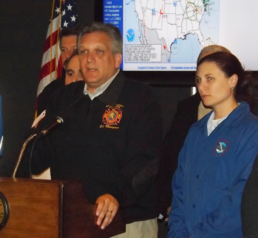
Nassau County Executive Ed Mangano held a press conference at the county’s Office of Emergency Management in Bethpage on Tuesday to remind residents that an evacuation order remains in effect for all residents living in a flood or storm surge zone.
“You should be sheltering with a family member or friend,” Mangano said to residents who live in low-lying areas. “Those that do not have any housing options, as a last resort our shelters are open.”
The county has three public shelters open for the storm — at Nassau County Community College, which includes a Special Needs Shelter, Levittown Memorial High School and a pet shelter in Garden City. The county is also opening four additional shelters Wednesday at 8 a.m.
“We now have information that a potentially damaging storm with flooding is heading toward us,” Mangano said, noting that the storm is expected to hit around 1 p.m. “Widespread, moderate flooding is forecasted in the low-lying areas.”
Mangano added that the State Emergency Management Office is sending the county five additional swift water rescue teams to be used in Island Park, Long Beach, Inwood, Massapequa, and another locations on the South Shore that are to be determined. Also being sent are eight additional high-axle vehicles for fire service and 12 extra Humvees for the Nassau County Police Department.
On Tuesday, the county started robo-calling homes to inform residents of the impending Nor’Easter, which is a storm with continuously strong northeasterly winds blowing in from the ocean ahead of the storm and over the coastal areas, according to The Weather Channel.
The greatest time of concern for the South Shore, Mangano said, is Wednesday between 1 and 4 p.m.
Nassau County public shelters that will be open Wednesday by 8 a.m.
-Nassau County Community College – P Building – located at 1 Education Drive in -Garden City East
-Levittown Memorial High School – located at 150 Abbey Lane in Levittown
-Pet shelter – located at 241 Miller Ave. in Garden City
-Plainview-Old Bethpage Middle School – located at 121 Central Park Road in Plainview
-Farmingdale High School – located at 150 Lincoln St. in Farmingdale
-Glen Cove High School – located at 150 Dosoris Lane in Glen Cove
-Mineola High School – located at 10 Armstrong Road in Garden City Park


