
 44.0°,
Mostly Cloudy
44.0°,
Mostly Cloudy Long Island under Tropical Storm Warning as Isaias heads up East Coast
All of Long Island is now under a Tropical Storm Warning as Isaias churns up the East Coast, according to the National Weather Service.
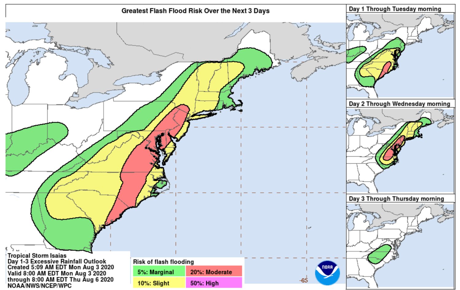
The storm is on track to strike the Carolinas with 70 mph winds and heavy rain around 2 a.m. on Tuesday, and from there, it is expected to continue moving northward, reaching Long Island between 2 and 7 p.m. Tuesday, the NWS states on its website.
The storm is predicted to bring heavy rain and winds, with gusts up to 70 mph.
It could also bring flooding in low-lying areas near the coast and power outages.
NWS forecasters are predicting Isaias will lash the Northeast from Tuesday into Wednesday, with the storm dissipating Thursday.
Long Islanders are urged to prepare in advance with food, flashlights and emergency supplies, officials said. On Monday, local governments like the City of Long Beach were out reinforcing beach dunes to protect against storm surge, which caused much of the damage during Superstorm Sandy in 2012.
Below is the Tuesday afternoon forecast for Long Island from the NWS:
Wind
Peak Wind Forecast: 45 to 55 mph, with gusts to 70 mph.
Window for tropical storm force winds: Tuesday afternoon into Tuesday evening.
Localized storm surge possible
Peak storm surge inundation: There is potential for up to 2 feet above ground somewhere within the surge prone areas.
Window of concern: Tuesday afternoon through early Wednesday morning.
Peak rainfall amounts: 2 to 4 inches, with locally higher amounts.
More to follow.


