
 49.0°,
Fair
49.0°,
Fair Storm resiliency project protects homes and infrastructure in Merrick
Renovations will mitigate future damage
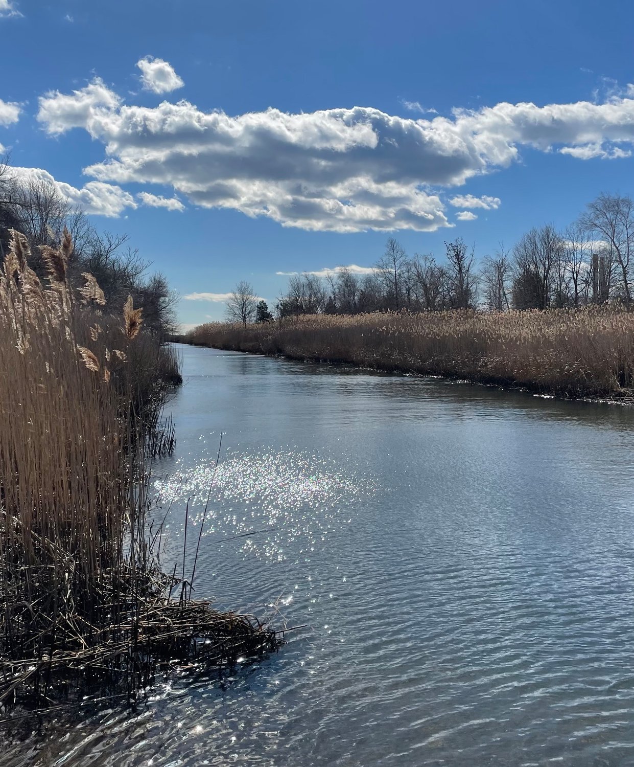


New York state’s Homes and Community Renewal office recently announced the completion of a storm resiliency project in Merrick along Meadowbrook Creek, also known in some areas as East Meadow Brook. The project will mitigate damage caused by flooding and excessive rainfall in future severe storms, in neighborhoods along the westernmost parts of the hamlet.
According to the state, Meadowbrook Creek experienced heavy rain, winds and severe flooding during Hurricane Irene in 2011. The following year, Superstorm Sandy caused even more damage, with a storm surge of over 10 feet at high tide, which inundated waterfront neighborhoods in the area.
Dozens of homes along the creek corridor were damaged, and the community also suffered power outages. Roads that served as evacuation routes were blocked by flooding, preventing residents and first responders from getting into or out of the area.
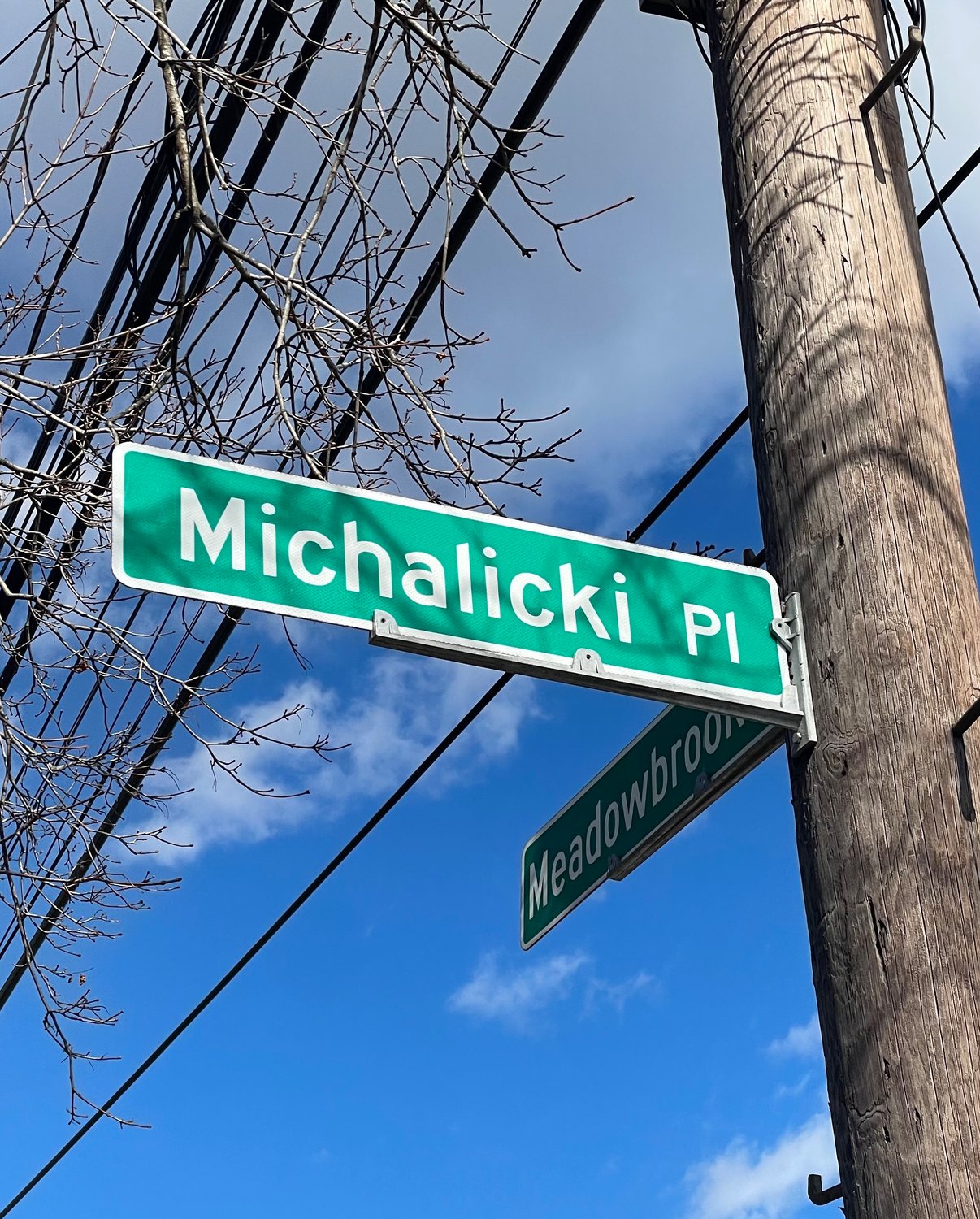
The project included several sustainable green infrastructure initiatives to reduce flooding, manage stormwater and minimize damage during future weather events. Permeable pavement and rain gardens were installed along several streets in Merrick, including Webster, Camp and Reid avenues and Michalicki Place.
These measures, according to the state, will capture and filter stormwater and runoff to relieve some of the burden on municipal systems and help prevent discharge into Meadowbrook Creek.
“By making these improvements, Merrick will be a stronger and more resilient community when the next major storm hits,” Homes and Community Renewal Commissioner RuthAnne Visnauskas stated in a release on Feb. 16. “As New York continues to adapt to a changing climate, our partnership with local officials and residents will be essential to safeguard neighborhoods and protect critical infrastructure long term.”
A spokesperson for the state told the Herald that the improvements took less than a year to complete.
The nearly $1 million resiliency project was funded by the state Office of Resilient Homes and Communities, which was created by Gov. Kathy Hochul last October and assumed the roles of the Governor’s Office of Storm Recovery. GOSR was created in 2013 to coordinate statewide recovery efforts for Superstorm Sandy, Hurricane Irene and Tropical Storm Lee, a 2011 weather system that affected upstate counties.
In 2014, Bellmore and Merrick residents gathered to create a New York Rising Community Reconstruction Plan, in the wake of the damage caused primarily by Irene and Sandy. After several meetings, a 150-page document was drafted, with input from a number of state departments, the Nassau County Department of Public Works and several consulting firms. It can be found at StormRecovery.ny.gov.
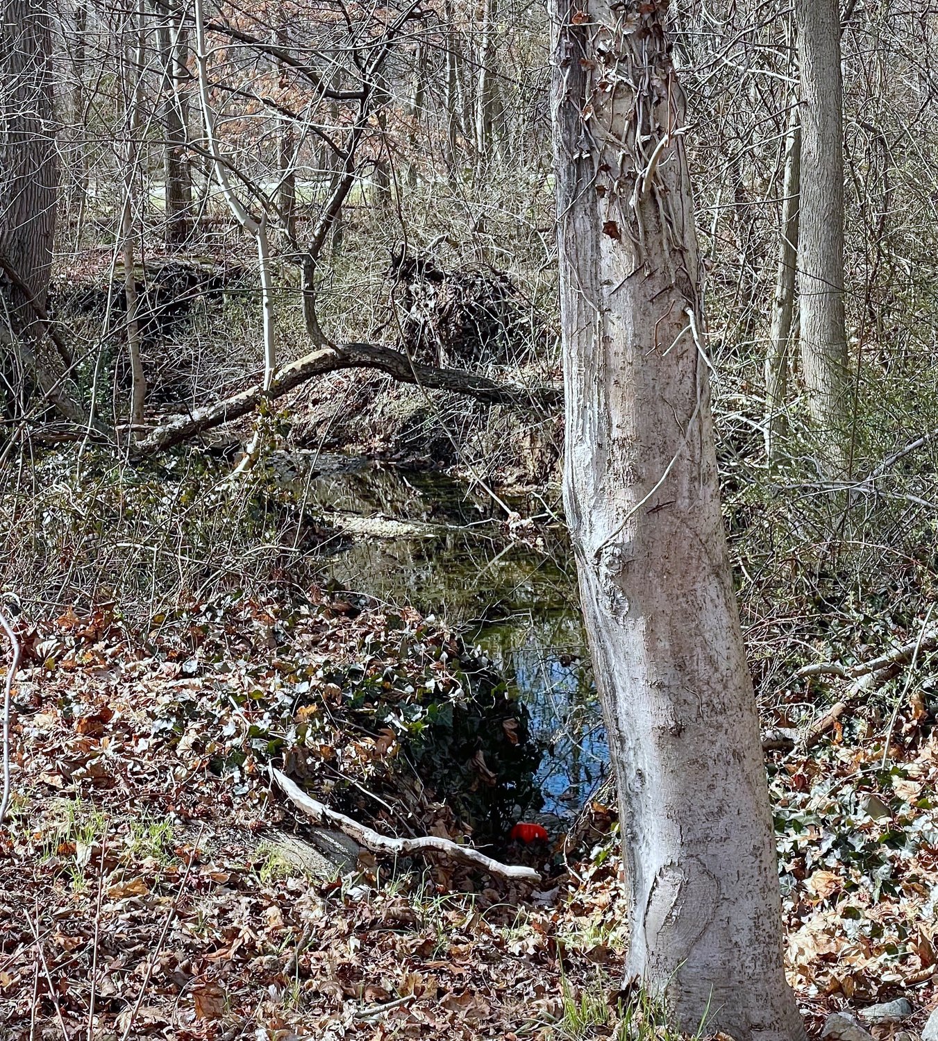
Meadowbrook Creek is part the Meadowbrook Corridor, a large system of retention ponds and tributaries running from Westbury to Merrick Bay, according to the reconstruction plan. The corridor is divided by the Meadowbrook State Parkway’s elevated roadway, which also serves as a border between Merrick and the Village of Freeport. There are over 200 stormwater outfalls draining into the corridor and tidal wetlands.
When the plan was drafted in 2014, the vast majority of neighborhoods deemed at high or extreme risk for storm damage in Merrick were south of Sunrise Highway, with the exception of Merokee Pond, which sits on the border of Bellmore and Merrick, and sections of the Meadowbrook Corridor.
The corridor is adjacent to several important community facilities in Merrick, including a Town of Hempstead Department of Sanitation plant, the Four Towns Fireman’s Training Center, a Nassau County Traffic Control Division garage, Merrick Road Park, the Merrick Golf Course, the Merrick Senior Center and the Norman J. Levy Park and Preserve.
Joe Baker, president of the South Merrick Community and Civic Association, was a co-chair of the committee that created the New York Rising Plan in 2014. He said that areas of South Merrick — in particular, streets off Shore Drive, near Cammanns Pond — have also received sewage upgrades. Shore and Lindenmere Drives surround Simmond Creek, another area hit hard by Sandy.
The dead-ends of Michalicki Place and Reid Avenue, and sections of Webster and Camp avenues where some of the work was completed, are in North Merrick. The streets back up to northern tributaries connected to Meadowbrook Creek. Improving the drainage systems in these neighborhoods will help prevent areas of South Merrick from being inundated by rainfall and runoff during future storms.
“The completion of this major project is a boon for the neighborhoods surrounding Meadowbrook Creek,” Town Supervisor Don Clavin said. “Not only will this project enhance the community’s resiliency against major storms, but it will also ensure first-responder access to the area during the event of a weather emergency.”
The projects, according the state, will also improve water quality and, overall, ensure that the greater Merrick community is better able to withstand future storms.
“I am glad this important project for the Merrick community has been completed,” Town Councilman Chris Carini, who represents parts of the hamlet, said. “Flooding remains a significant hazard for the shores of Long Island, as both major and minor storms can create unsafe storm surges. Investing in our infrastructure is vital for combating these weather hazards.”


