
Glen Cove prepares as Isaias heads up East Coast
All of Long Island, including the City of Glen Cove, is now under a Tropical Storm Warning as Isaias churns up the East Coast, according to the National Weather Service.
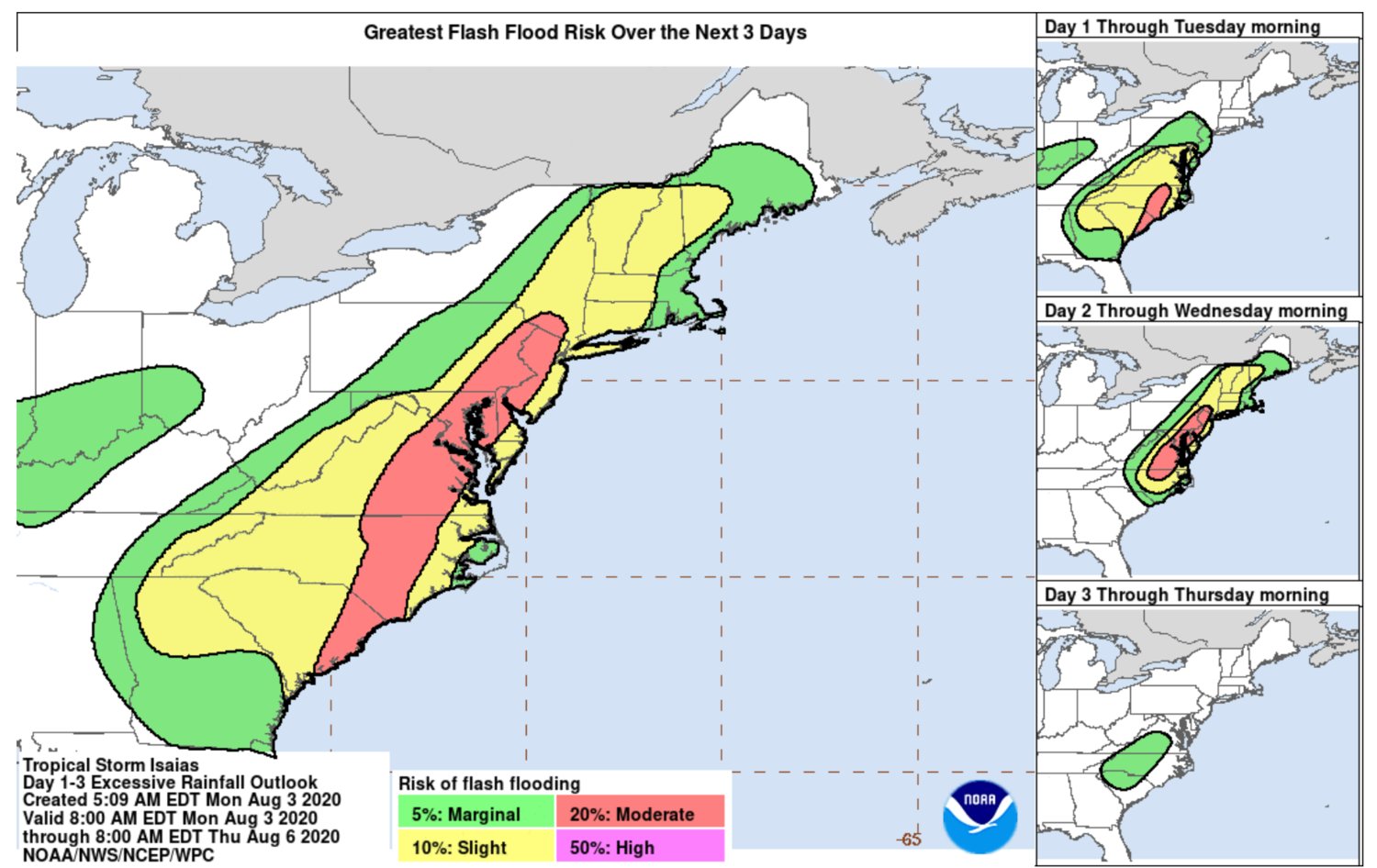
The storm is predicted to bring heavy rain and winds, with gusts up to 70 mph.
It could also bring flooding in low-lying areas near the coast and power outages.
NWS forecasters are predicting Isaias will lash the Northeast from Tuesday into Wednesday, with the storm dissipating Thursday.
“As the tropical storm approaches, the City of Glen Cove is working closely with our Department of Public Works and Office of Emergency Management and we are regularly monitoring the situation,” Glen Cove Mayor Tim Tenke said. “We will be taking all reasonable precautions to protect our residents and our properties.”
Glen Cove Police Department Chief William Whitton assured Glen Cove residents that the city is equipped with the necessary staffing and equipment as Tuesday approaches.
“We’re always ready for whatever comes,” Whitton said. “We have a rescue vehicle that can go through three feet of water and we’ve used that numerous times for water rescues on Morgan Island, Garvies Point Road, Shore Road and some others. We’re equipped with plenty of flares if we needed them to do any aide if trees came down and we need to close roads, the auxiliary will have a full staffing.”
Typically during a bad storm, Whitton said, trees can come down, bringing power lines down with it. When that happens, the roadways must be closed. If one sees a power line, they should call the GCPD desk at (516) 676-1000 or 911, he said.
“If wires come down people should not make the assumption that it’s not dangerous,” Whitton said. “It may say it’s a cable wire or a telephone wire when in face it’s energized with electricity. They should never make the assumption that those wires are ever safe to go near and they should always notify us and let us make an evaluation.”
Whitton said that if someone notices a down wire while in their car, they should stay in their car until it’s deemed safe by the GCPD to do so. “While you’re in your vehicle, if wires are down across your vehicle, the ground may be energized or the water [from flooding] may be energized and you’re safe if you stay inside your car. If you get out of your car, you would not be safe any longer.”
The storm is on track to strike the Carolinas with 70 mph winds and heavy rain around 2 a.m. on Tuesday, and from there, it is expected to continue moving northward, reaching Long Island between 2 and 7 p.m. Tuesday, the NWS states on its website.
Long Islanders are urged to prepare in advance with food, flashlights and emergency supplies, officials said. On Monday, local governments like the City of Long Beach were out reinforcing beach dunes to protect against storm surge, which caused much of the damage during Superstorm Sandy in 2012.
Below is the Tuesday afternoon forecast for Long Island from the NWS:
- Wind
- Peak Wind Forecast: 45 to 55 mph, with gusts to 70 mph.
- Window for tropical storm force winds: Tuesday afternoon into Tuesday evening.
- Localized storm surge possible
- Peak storm surge inundation: There is potential for up to 2 feet above ground somewhere within the surge prone areas.
- Window of concern: Tuesday afternoon through early Wednesday morning.
- Peak rainfall amounts: 2 to 4 inches, with locally higher amounts.
More to follow.


