
 60.0°,
Overcast
60.0°,
Overcast Blizzard on the way
Long Island expected to see 6 to 10 inches of snow
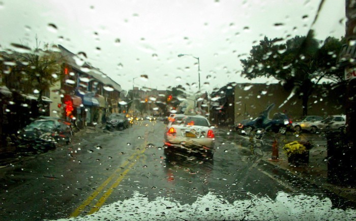
The National Weather Service has issued a blizzard warning for Thursday from 6 p.m. to Friday, 1 p.m., when light freezing rain is expected to turn into a steady falling snow.
Blowing snow is predicted, and accumulations are expected to be from 6 to 10 inches. Winds will be from the north at 10 to 30 mph with gusts of up to 35 mph.
Temperatures will fall from the mid thirties today to the 20s tonight and into the teens by Friday. Wind chills will make if feel like zero or below zero on Friday.
Visibility will be one-quarter mile or less at times, creating whiteout conditions and extremely dangerous driving conditions.
Coastal flood watch in place for tonight
The NWS also issued a coastal flood watch warning for Thursday evening beginning at 7 p.m., cautioning of minor coastal flooding today with “minor to locally moderate” coastal flooding tonight.
The warning covers Atlantic Ocean-facing shorelines, the South Shore back bays of Long Island and New York Harbor. The NWS predicted this evening’s high tides will be about 1 and 1/2 to 2 feet above astronomical high tide, and it also predicted “minor to moderate” beach erosion along Atlantic Ocean beaches and the East End’s Twin Forks.
There may be additional coastal flooding Friday morning and early afternoon with the next high tide cycle, the NWS said.
County, state agencies ready for storm


