
 80.0°,
Partly Cloudy
80.0°,
Partly Cloudy Blustery nor'easter brings Bellmore-Merrick area to a halt


A massive nor'easter out of the west swept across Long Island early Monday, and forecasters say it could drop up to a foot or more of snow across the area by Tuesday, with wind gusts expected to reach 30 to perhaps as high as 60 miles per hour.
Of the storm, Merrick resident Craig Allen, a meteorologist for WCBS 880 and News12, said, “This is the real deal.”
Because the system from the west has now transferred its energy to a new storm off the mid-Atlantic coast, he explained, the region could see doubled snow accumulations as compared to the previous nor'easter on Dec. 17, which dumped 4 to 6 inches of snow on the South Shore.
“This is going to be a much more prolonged event,” Allen said. “It will wobble around for about 24 hours until it finally gets kicked out by drier air in the middle of the week. Because the storm is blocked on all sides, it’s going to continue to dump . . . about 2 to 3 inches of snow per hour, which is incredible. We are in the perfect location to get the brunt of this one.”
Once the heaviest bands of snow move through the afternoon, Allen said, there will be a little bit of a lull around Monday evening as the system moves into a “dry slot.” However, Allen anticipated that the region could see even more accumulations tomorrow before the snow tapers off.
“This may make it into the top 10 snowstorms of all-time for the area,” he noted.
Although the storm has delivered the perfect packing snow, Allen said overall conditions will bring the region to a halt. “If we do get over 10 inches on the tracks the railroad’s going to shut down for a while until they can clear the third rail,” he added. “This one is limiting our ability to carry on with life.”
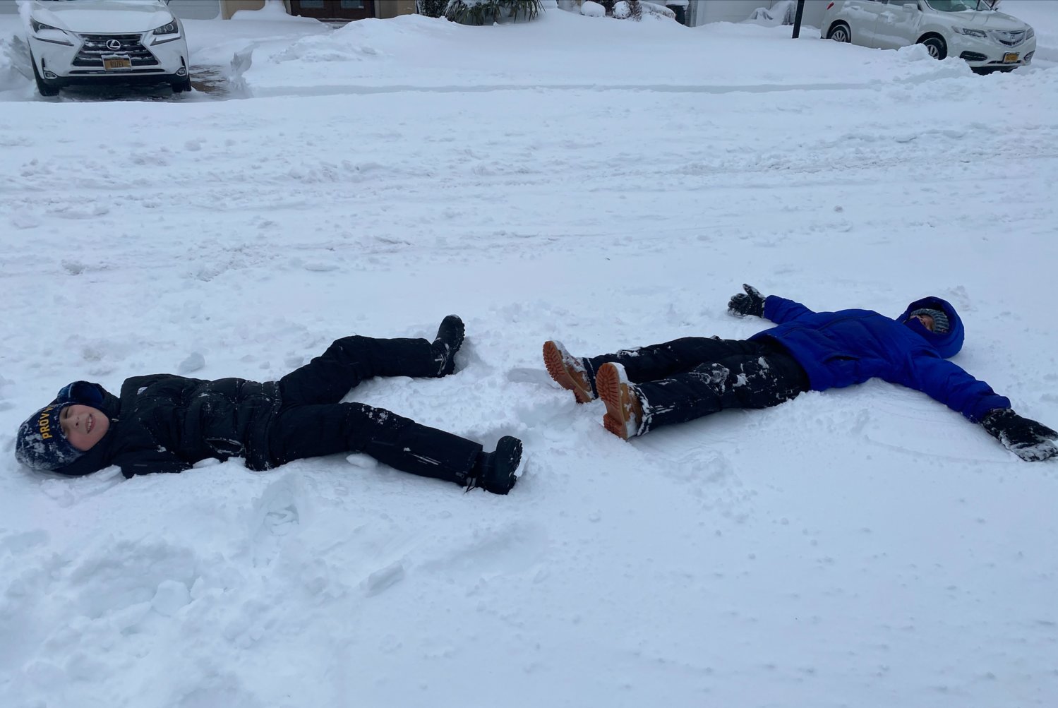
School officials across Bellmore-Merrick announced schools would be closed Monday due to the inclement weather, allowing students to enjoy an old-fashioned snow day — no remote learning required.
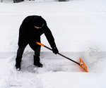
County and town officials urged people to stay off the roads during the storm if they could, as conditions were already “treacherous” by Monday morning.
“Wind is going to play a significant role in this storm,” said County Executive Laura Curran at a news conference Sunday. “We're talking about blizzard-like conditions . . . It's going to be heavy, wet snow with a lot of wind.”
The biggest snow fall will come between 10 a.m. and 11 p.m. Monday. The South Shore is expected to be the “most vulnerable,” Curran said. “As the day goes on, conditions are going to get more dangerous for driving.”
As of 1 p.m. Monday, there were more than 400 plows and trucks working to clear 1,200 miles of roadway within the Town of Hempstead, according to 5th District Councilman Christopher Carini. He added that white-out conditions and heavy winds was making the job difficult.
"Plowed streets are quickly recovered from high gusts blowing the snow back on the roads," Carini said in a statement. "When shoveling, please do not throw the snow back into the street but on your front lawn. This will help keep our roads clear."
On Facebook, Nassau County Legislator Steve Rhoads posted a list of emergency numbers for residents’ reference, which can be found here. “This storm seems to be living up to expectations, unfortunately,” he wrote. “Thank you to our first responders, plow operators and essential workers who are out there in the storm as always. Be smart and stay safe!”
Dashing through the snow? Send your snow day pics to Editor Alyssa Seidman at aseidman@liherald.com.


