
 80.0°,
Partly Cloudy
80.0°,
Partly Cloudy Winter Storm Hits the North Shore
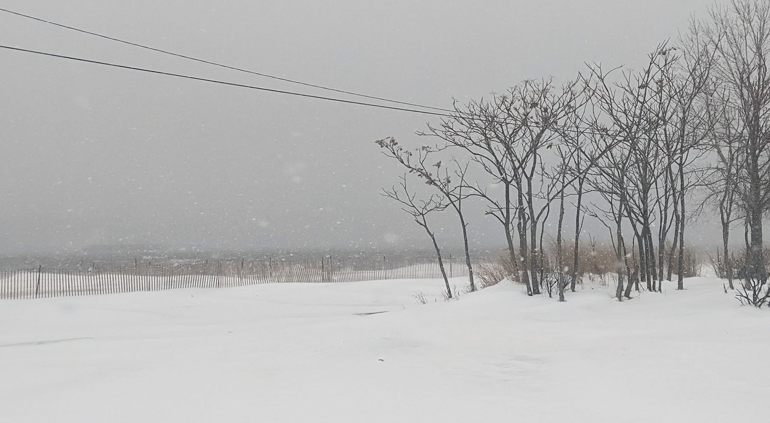
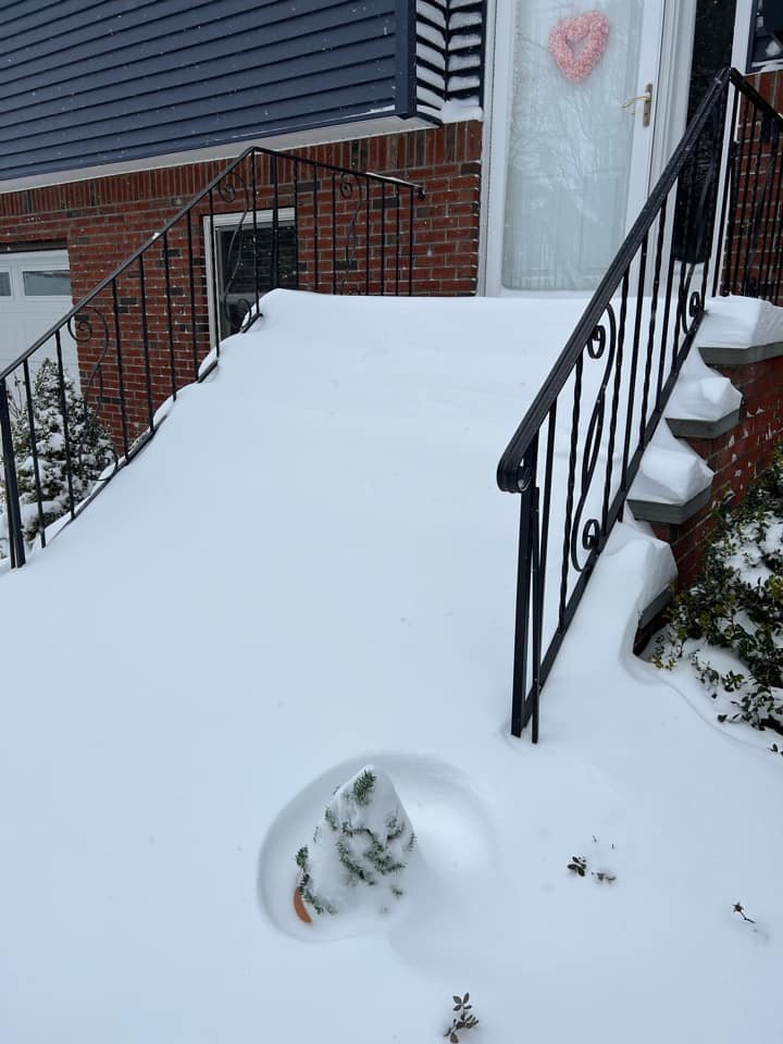
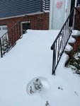
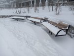
In the waning days of January, a nor'easter blew across Long Island Friday night into Saturday, bringing with it more than a foot of snow in Nassau County as of 9 a.m., with additional accumulations expected throughout the day.
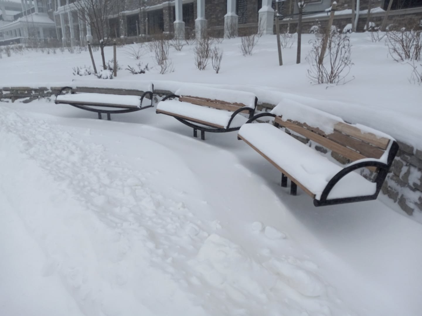
Meteorologists predict Sea Cliff could see as much as 14 inches of snow by the storm's completion. As of 3 p.m. Saturday, eight inches of snow accumulated in the village thus far.
County, village and town officials described road conditions as "dangerous" and said motorists should stay home if they do not have to go out.
“There are very high winds and low temperatures that with the wind chill it feels like below freezing,” Oyster Bay Town Supervisor Joseph Saladino said. “High winds create drifts. Tomorrow we will have subfreezing temperatures and it won’t rain. That will make this even more complicated.”
The good news, the supervisor added, is that there have not been any reports of downed trees, power outages or flooding. And trucks with pumps are on standby in case there is flooding. Right now, beach erosion is minimal, he added.
The Long Island Rail Road suspended service until further notice. The LIRR posted on its Twitter feed: "Safety first! We continue to operate patrol trains throughout the system to keep tracks and switches clear of snow and prepare for the resumption of service. Stay off the tracks at all times and do not go around lowered crossing gates, as a train may be approaching at any time."
PSEG-Long Island was reporting only scattered outages across the Island on its website. Electric system reliability was at nearly 100 percent, the utility said as of 9 a.m. The temperature hovered around 20 degrees Fahrenehit in the early morning and was not expected to climb above the freezing mark throughout the day. The temperature was predicted to dip overnight and remain in the 10- to 15-degree mark through Sunday.
Saladino said for plow drivers, this is a blizzard. Some were out at 1 a.m. and by 5 a.m. all the snow plows were being operated. The town has 300 full-size trucks, pickups with plows and packers which can be outfitted with plows.
“Ice is ice no matter how heavy the truck is,” Saladino said. “You have to slow down way in advance on these roads. With drifts as high as 2 ½ feet and visibility low snow plow operations are complicated.”
At a news conference Friday, Nassau County Executive Bruce Blakeman urged county residents to stay inside their homes and off the roads. "Our county is prepared for this event," Blakeman said. "We have 80 trucks that have been out already since this morning salting the roads, and they are out prepared to do more salting throughout the evening, and they will plow throughout the evening and tomorrow morning. We expect this to be a two-day event — what I mean by that is the roads won't be clear probably until Sunday morning."
Blakeman also advised residents to keep pets indoors and, in case of power outages, not to leave candles unattended in order to avoid fire hazards.
Below was the National Weather Service forecast for Sea Cliff:
Saturday
Snow, mainly before 4 p.m. Widespread blowing snow after 1 p.m. High near 22. Wind chill values between negative five and zero. Windy, with a northwest wind around 28 mph, with gusts as high as 41 mph. Chance of precipitation is 80 percent. Total daytime snow accumulation of 5 to 9 inches possible.
Saturday Night
A 30 percent chance of snow, mainly before 8 p.m. Mostly cloudy, then gradually becoming mostly clear, with a low around 10. Wind chill values between negative ten and zero. Blustery, with a northwest wind 20 to 23 mph, with gusts as high as 36 mph.
Sunday
Sunny, with a high near 25. Wind chill values between negative five and five. West wind 11 to 17 mph.
Sunday Night
Partly cloudy, with a low around 14. West wind five to eight mph.
Monday
Partly sunny, with a high near 32. Light and variable wind becoming north around six mph.


